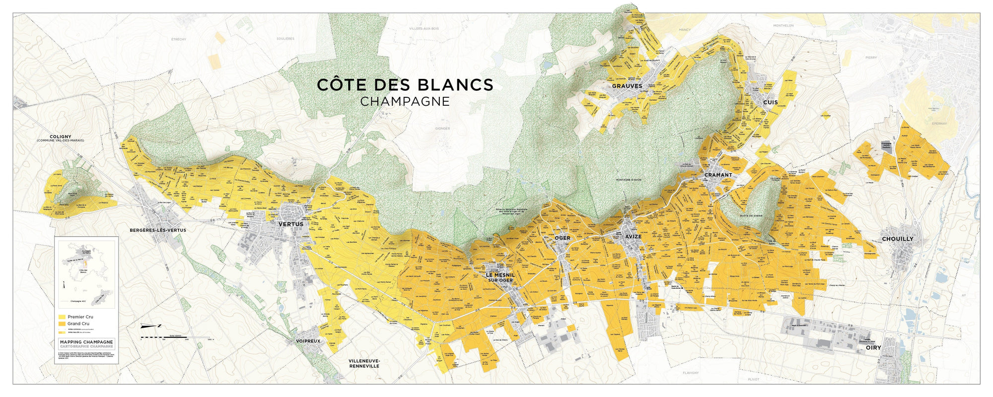
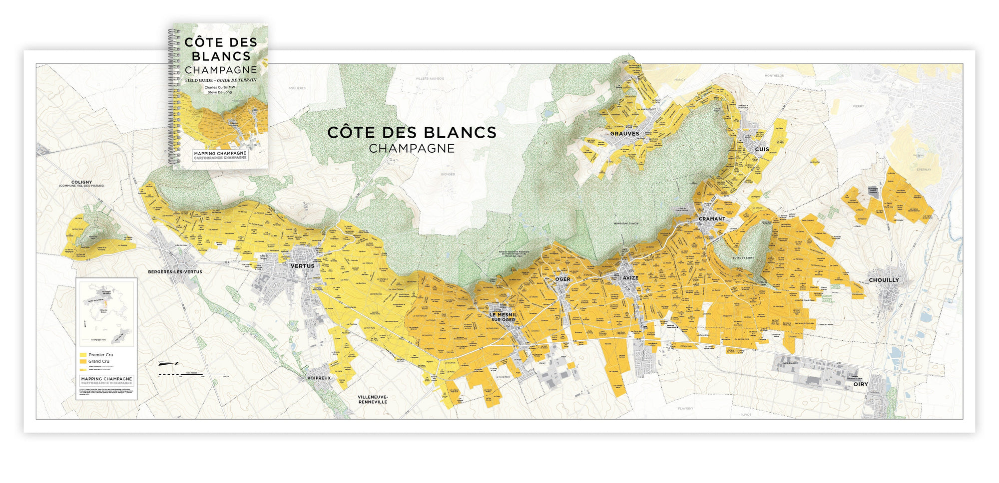
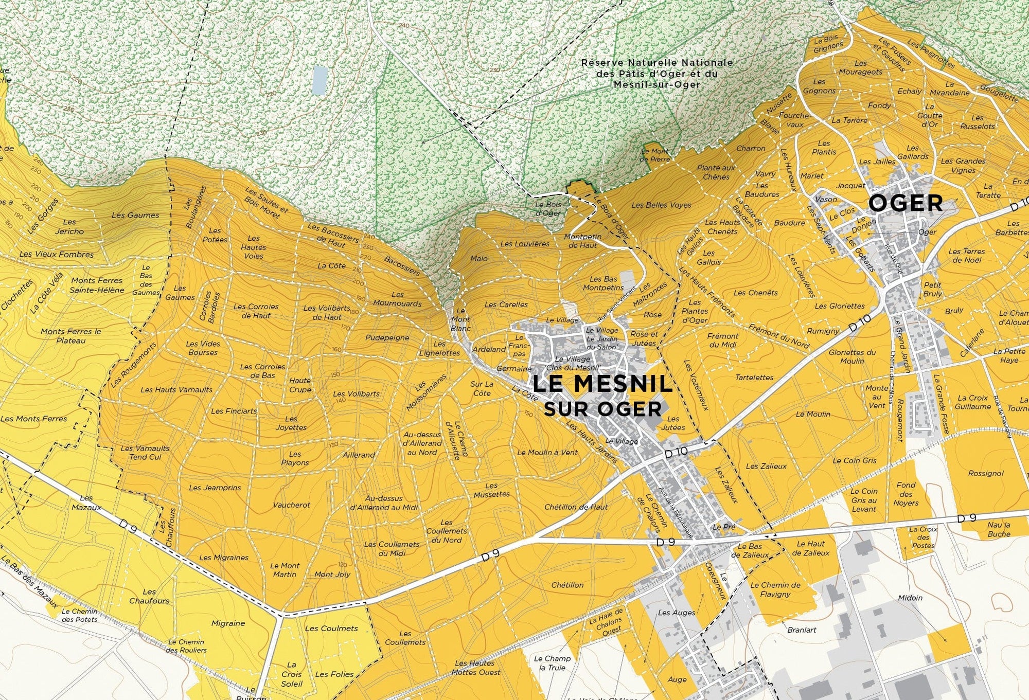
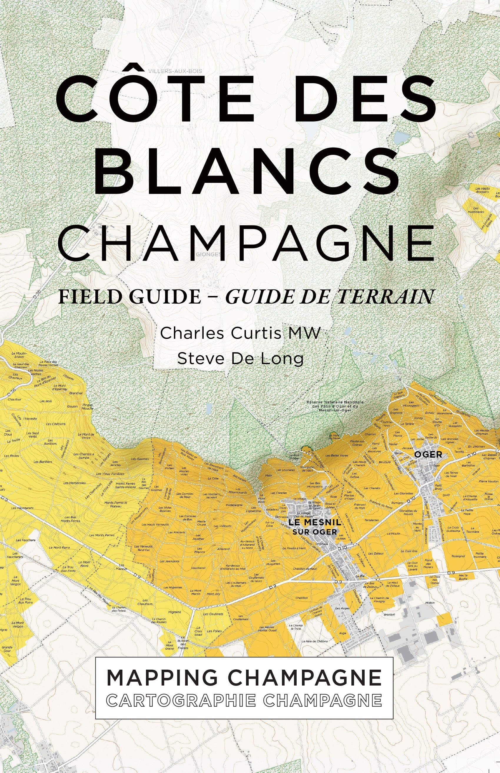
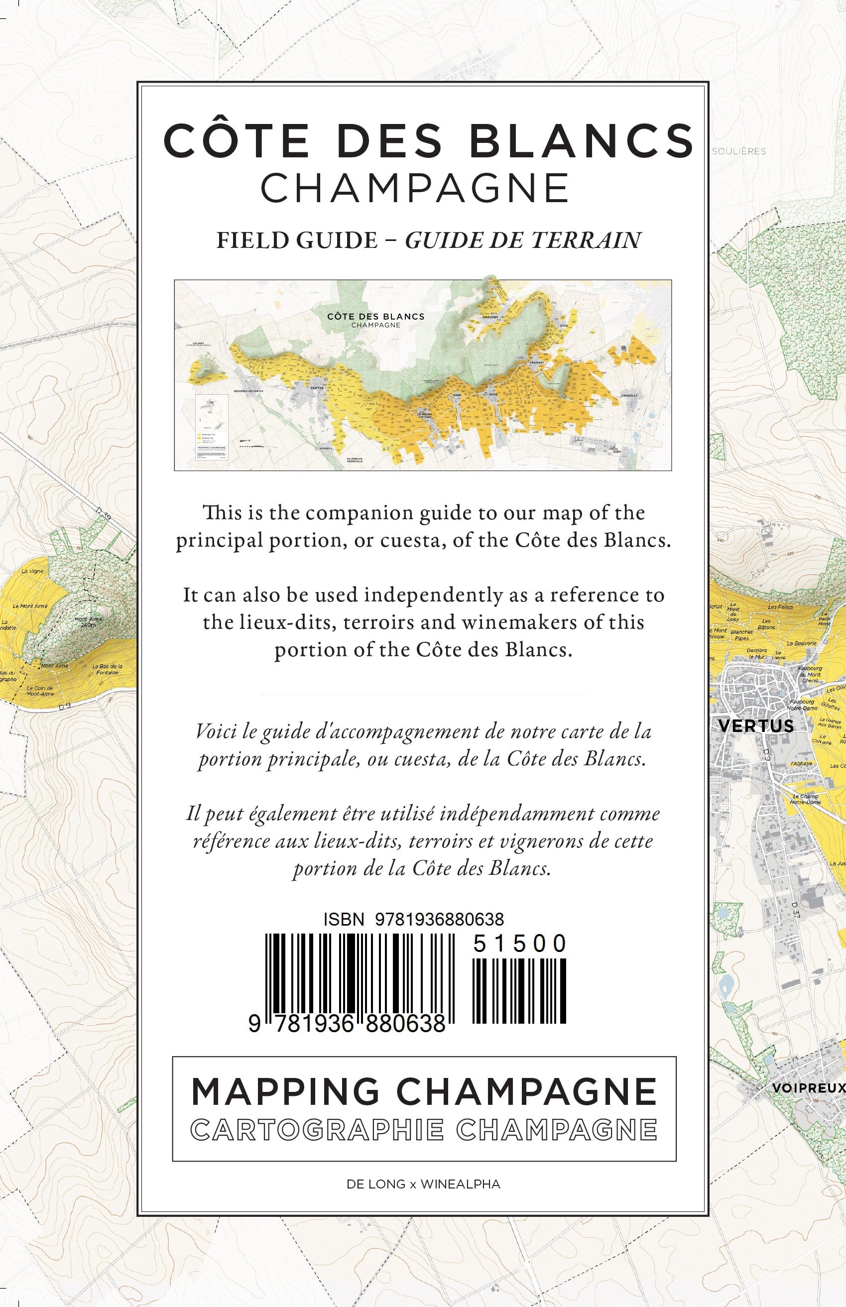
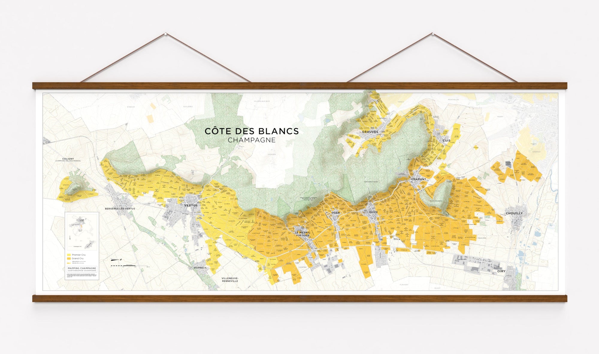
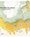
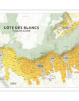
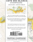
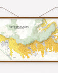
Côte des Blancs Map

$90.00 Sale Save
Options Map with Field Guide

Item is in stock Only 0 left in stock Item is out of stock Item is unavailable

This large format (nearly five foot wide) map is of the principal portion, or cuesta, of the Côte des Blancs.

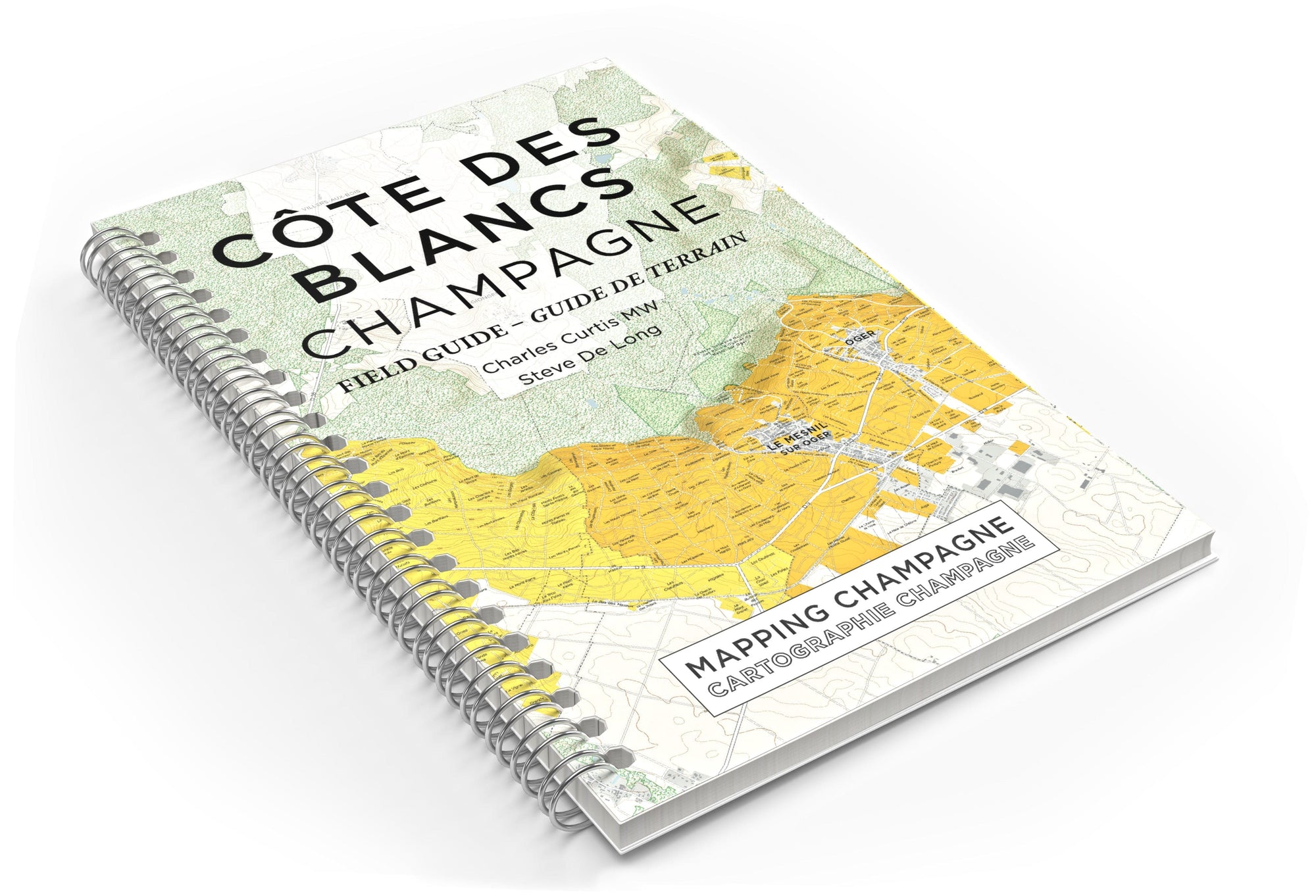
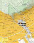
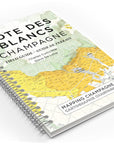
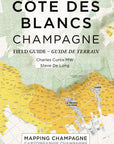
The map is accompanied by a 120 page bilingual French and English Field Guide that provides a tour of the village terroir and its unique wines, a complete list of lieux-dits planted (or partly planted) in the commune, and a directory of its winemakers.

The Côte des Blancs Map is available as a high quality print with or without the Field Guide, as a digital download or both.

Please note: all sales are final on digital products.

Dimensions: 59.0 x 23.625 inches, 150 x 60 cm

Printing: Lithograph on 100# (150 gsm) matte coated paper

Field Guide: 120 pages, spiral bound

Publication Date: October 16, 2022

Map ISBN: 978-0-9723632-9-7

Field Guide ISBN: 978-1-936880-63-8

Format: PDF

Map Resolution: 5664 x 2268 pixels (96 dpi) artwork with clear vector text

PDF Field Guide: 120 pages

Map File Size: 1.9 MB

PDF Field Guide File Size: 6.6 MB

Publication Date: November 1, 2022

ISBN: 979-8-88863-003-7

License: Each purchase is licensed to a single user

Terms: For personal use; not for resale, distribution or for any other commercial use. For more details see: copyright notice

Printing: Allowed for individual use.

Material: Natural Teak with matte finish

Construction: Attachs to the top and bottom of the map, similar to old school maps

Installation: There are magnets inside each piece of the frame. Simply lay the map on one piece of the frame and snap the other piece on top. Repeat for the other set of frame pieces