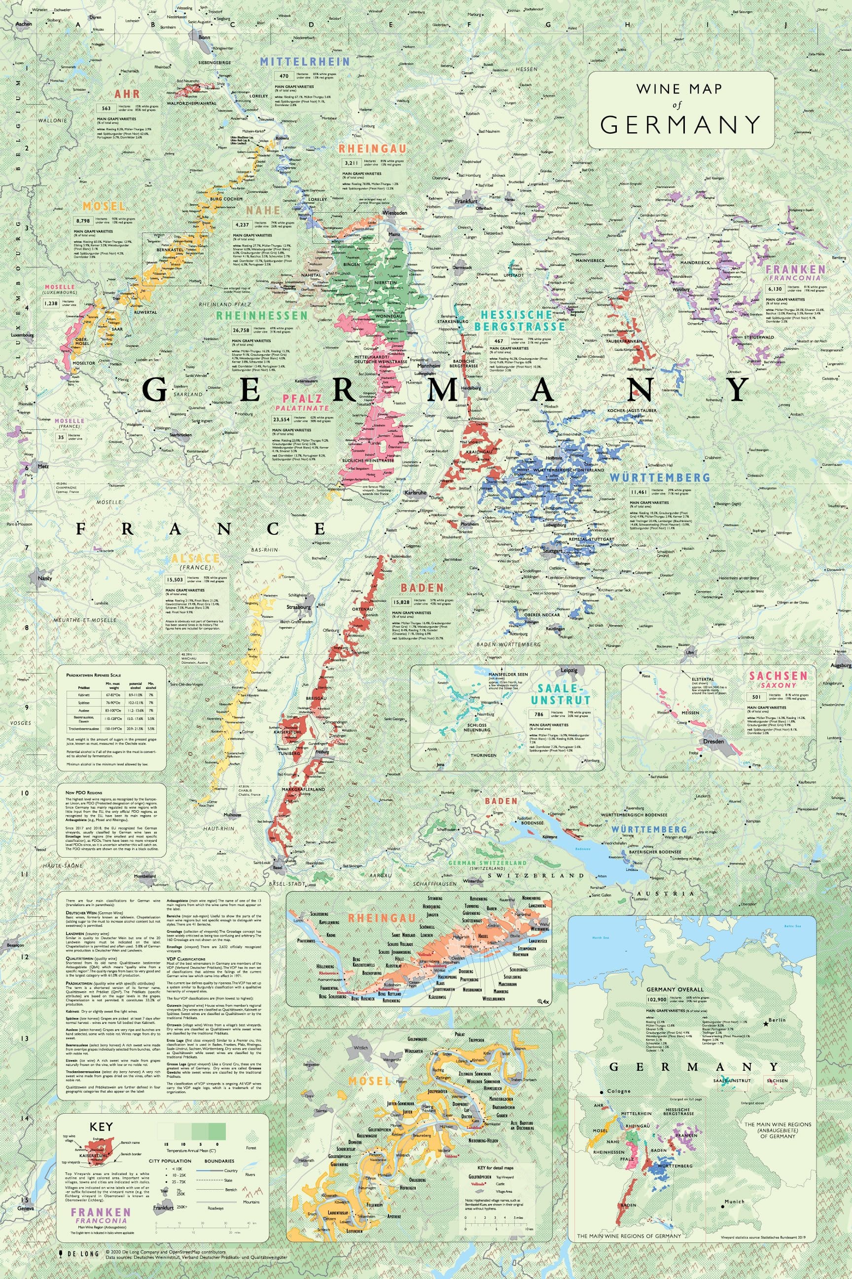
When the Romans planted grapevines in Germany over two thousand years ago, they probably didn't anticipate that a climate much less favorable than the Mediterranean could produce an abundance of outstanding wines.
Germany is currently the world's eighth-largest producer of wine.
Includes: all main wine regions (Anbaugebiete) broken down in sub-regions (Bereich) and including top wine villages and grape varieties; detail maps of Rheingau and Mosel; adjacent regions of France, Luxembourg, and Switzerland.
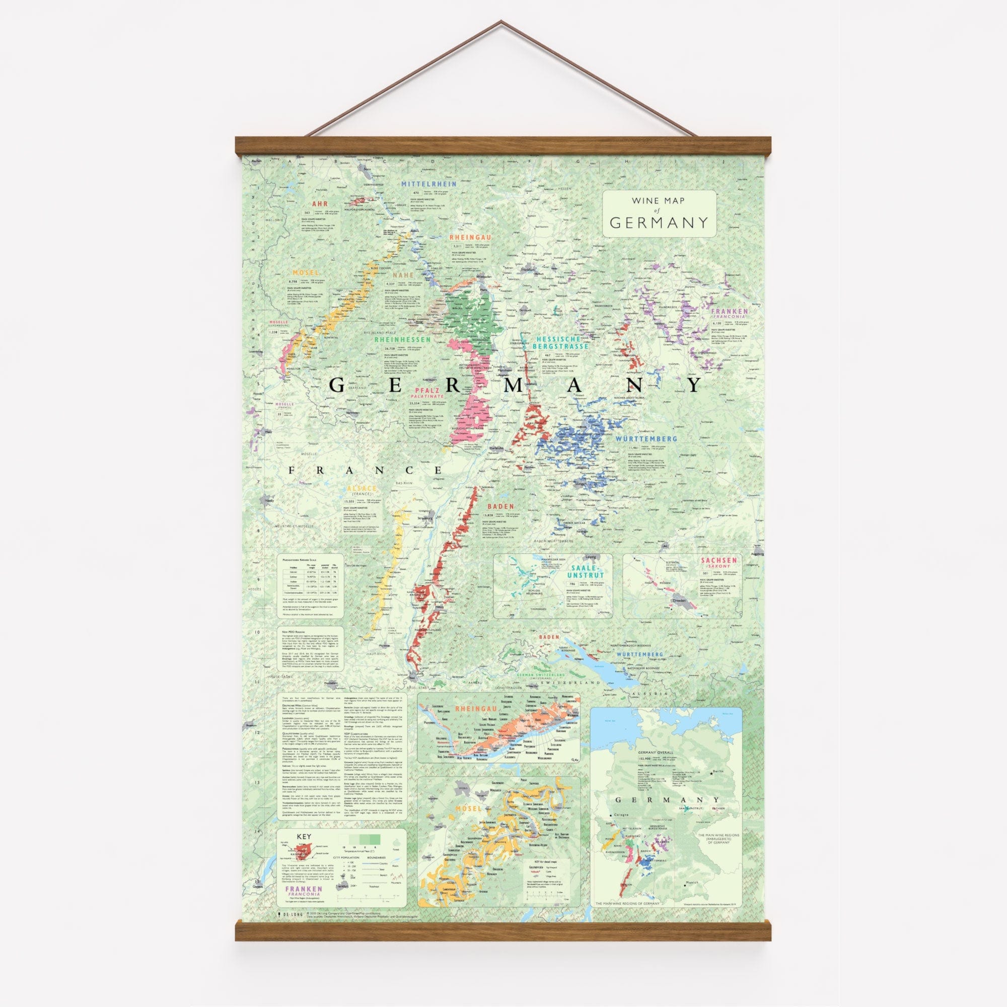
This map can be purchased with a high-quality natural teak hanging frame. The frame easily snaps onto the map with hidden magnets for a simple and elegant presentation.
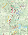
When the Romans planted grapevines in Germany over two thousand years ago, they probably didn't anticipate that a climate much less favorable than the Mediterranean could produce an abundance of outstanding wines.
Germany is currently the world's eighth-largest producer of wine.
Includes: all main wine regions (Anbaugebiete) broken down in sub-regions (Bereich) and including top wine villages and grape varieties; detail maps of Rheingau and Mosel; adjacent regions of France, Luxembourg, and